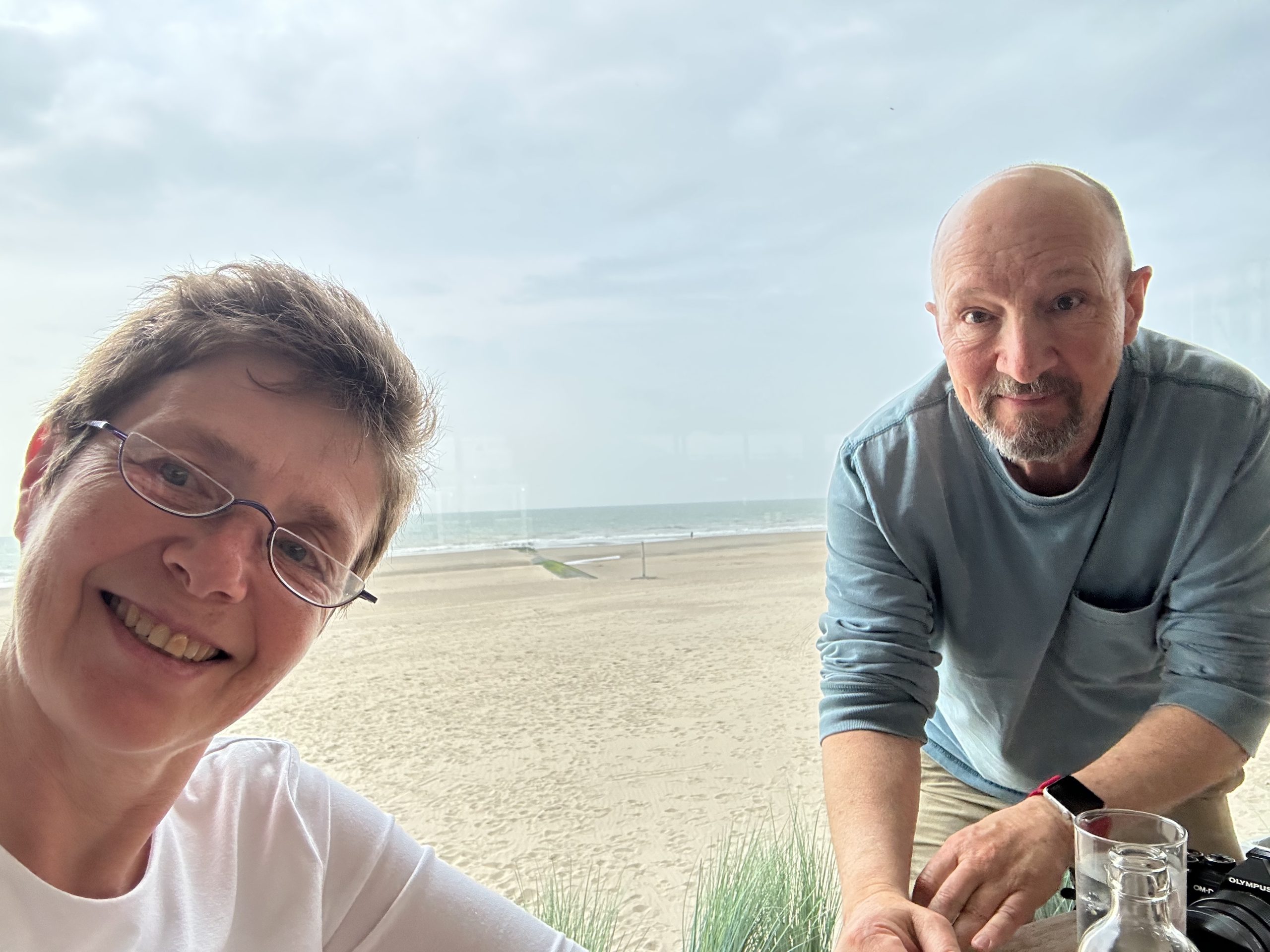
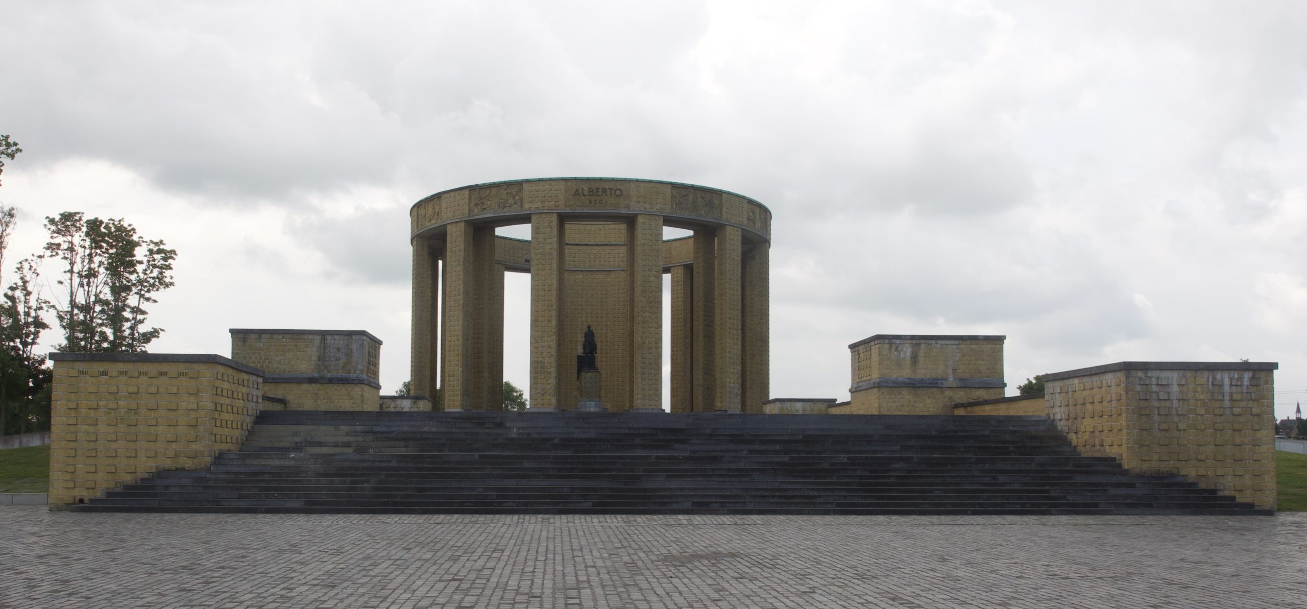
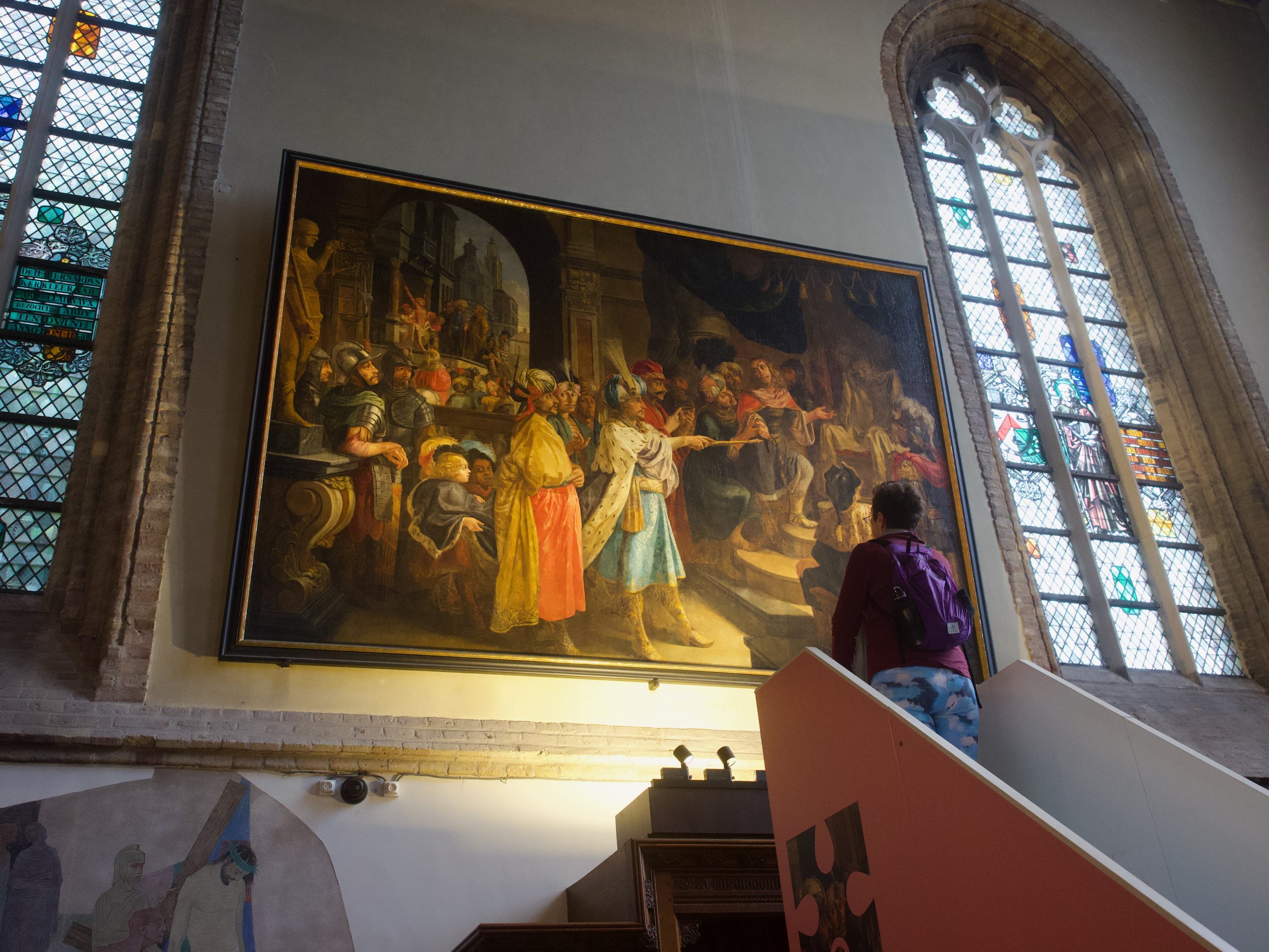
We did not sleep quite as well as the previous nights and got a slightly later start, around 8:30 for breakfast, 9:30 for our trek to the car (along the beach, so that was fun yet again, especially since it was much less windy today than yesterday), and 10:30 before we had our first destination for the day, a small town called Nieuwpoort (Newport/New Haven: take your pick). Judith and Michael had briefly visited it before and thought it was worth checking out, and it was fun in a low-key way. The town sits not directly on the coast, but a couple of miles back, and its port is technically a river port, but several canals and rivers really meet there, in a complicated system of sluices that is called (after its shape) a goose foot. We visited an enormous war memorial + memorial to the king of Belgium during World War I (Albert), both placed here because the town has a surprising role during that war because of those sluices. The Germans occupied large swaths of Belgium at the time, but the Belgian Army took advantage of the fact that they could effectively flood the entire low-lying area around the canals and rivers by opening the sluice gates and turn the landscape into a huge estuary. This block the Germans from a small area of Belgium (about 5%) that did not fall under German control during WWI. I had never heard of this event and thought it was fascinating.
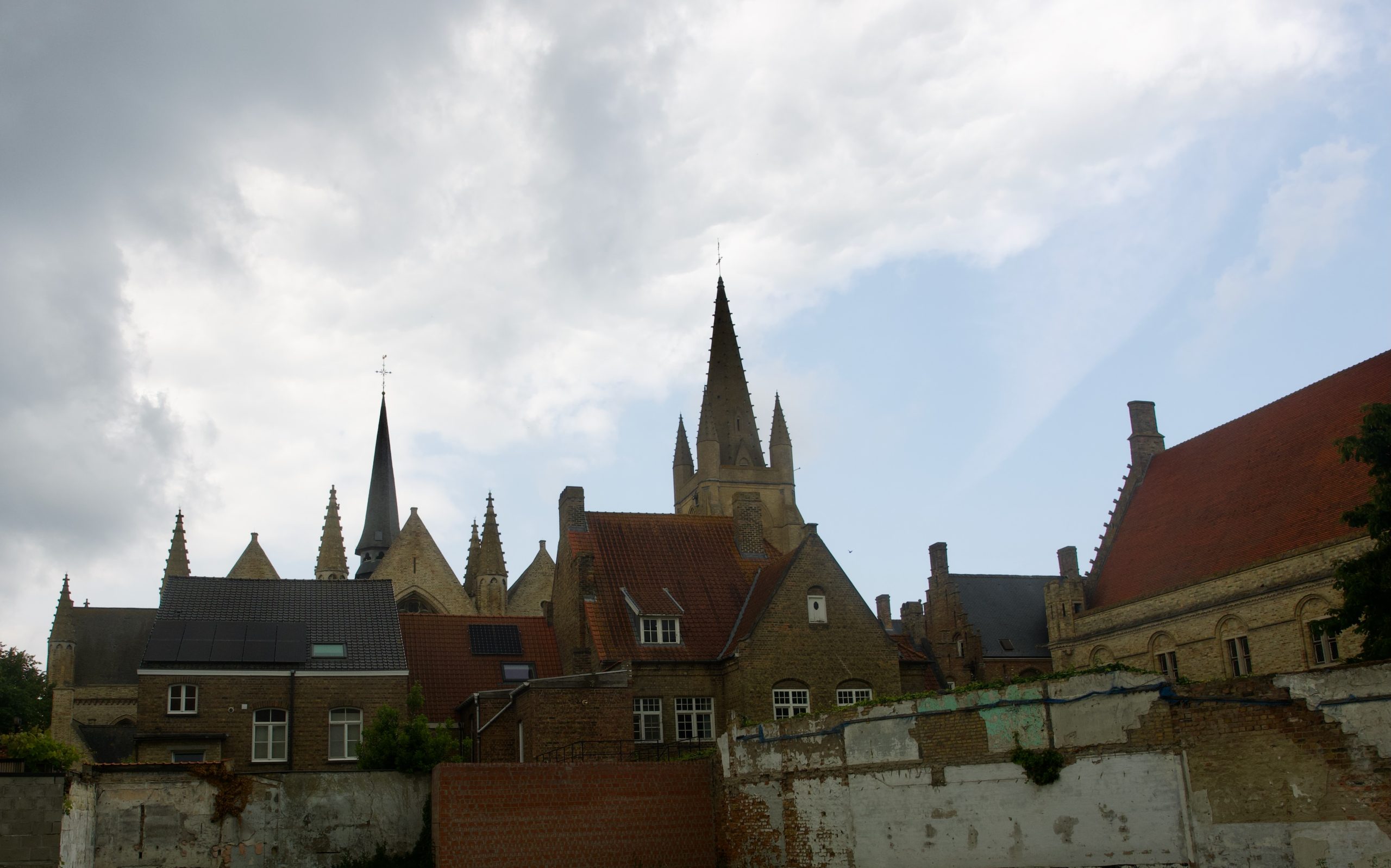
We also visited the town’s downtown, with a beautiful historic marketplace near which a big town hall and three churches are so close together that it almost seems like one building complex. We walked through little streets and alleyways-it was very quiet because it was a holiday today-and looked for historic homes, which are almost all brick here and, even though they are from the late 19th century, all look much older–clearly, Nieuwpoort didn’t want anything to do with art nouveau! Eventually, we found ourselves a modest little restaurant, where we had croques monsieurs (basically a dry version of grilled ham and cheese) and warm apple-cinnamon cake with freshly made vanilla ice cream. Delicious.
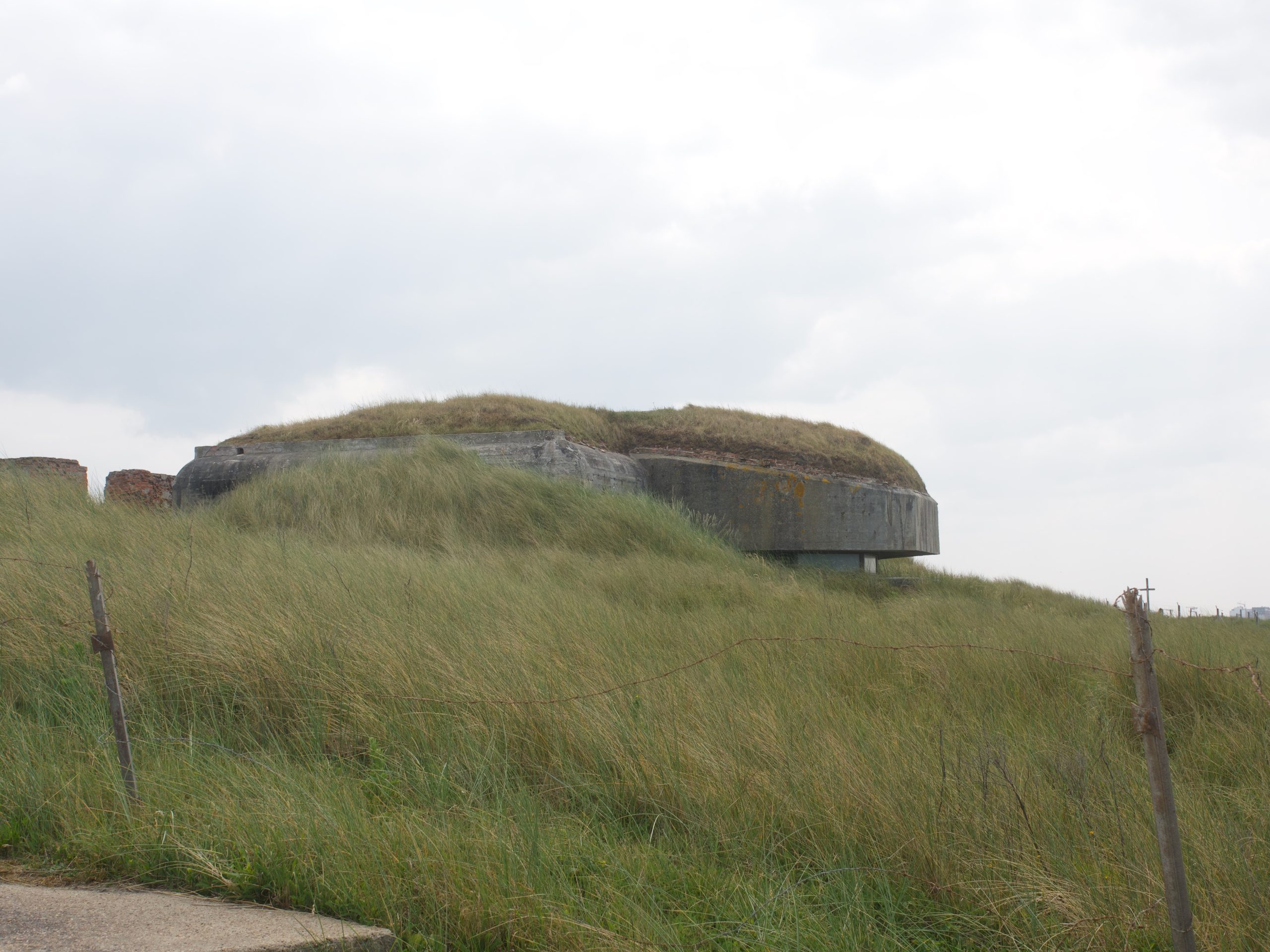
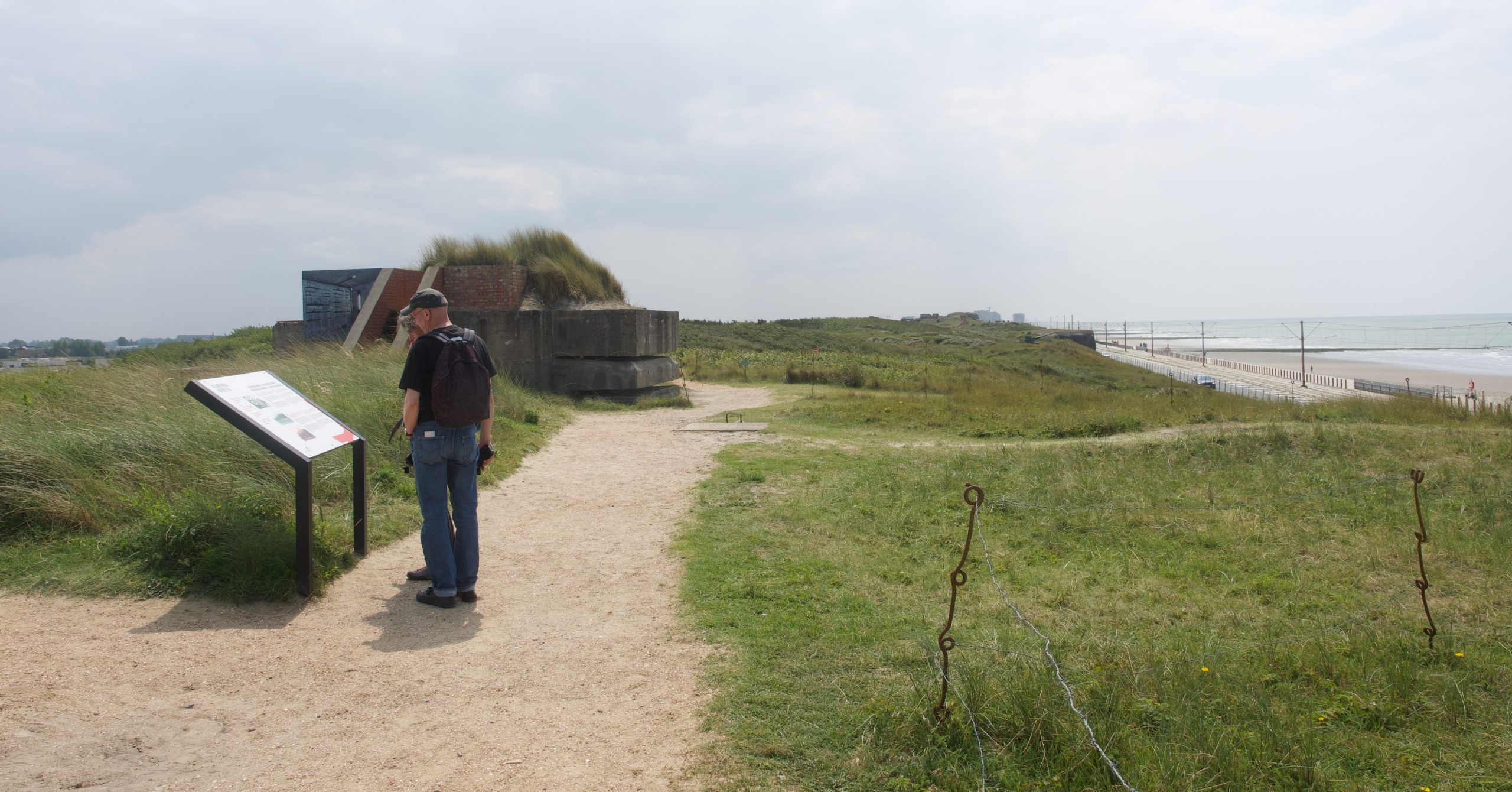
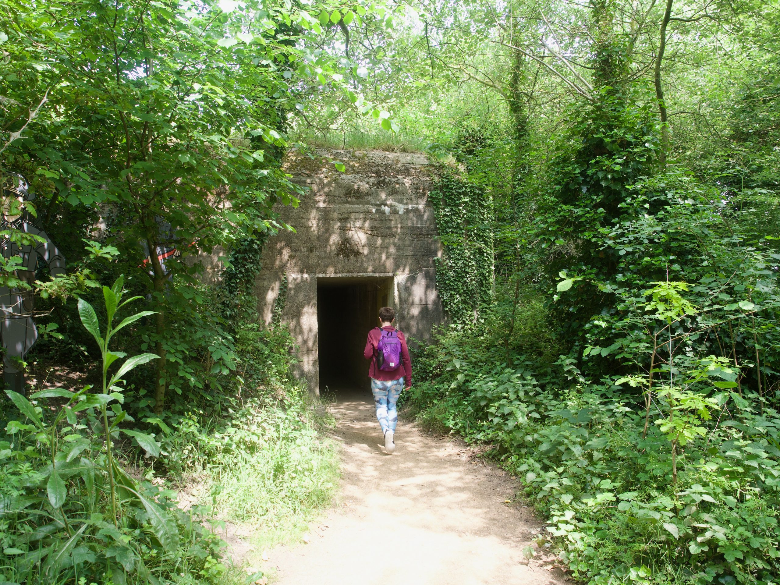
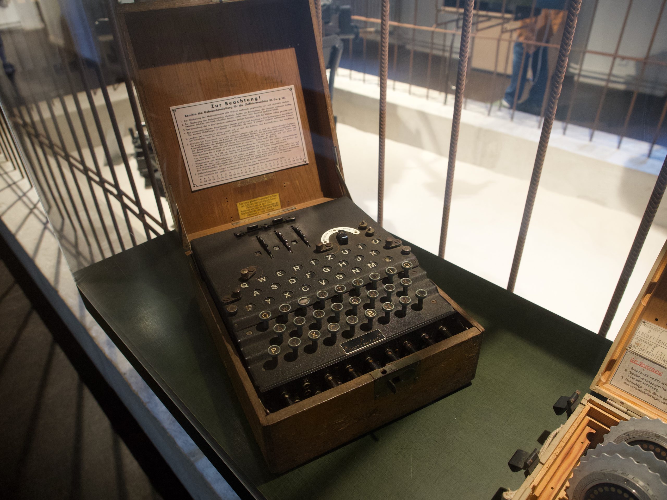
We left Nieuwpoort and drove back to the coast between that town and Ostende to find an outdoor museum site that Michael was especially curious about: It is called Atlantikwall Raversyde (or Raversijde) and is one of the very few sites along the long long coastal defense system that the Germans built up during World War II after they began to occupy the countries all along the Atlantic coastline. Again, we had no idea this was here and could be visited ; neither did we know that intermingled with it were sites that the Germans used during the occupation in World War I, when they used to send U-boats out to sink Allied and civilian ships from the Belgian harbors they occupied, and also a few modest-looking and rustic buildings that used to be the home of the Karel (Charles), the Belgian prince who was temporary ruler of Flanders after World War II and mostly seems to have wanted to be left alone and be a painter.
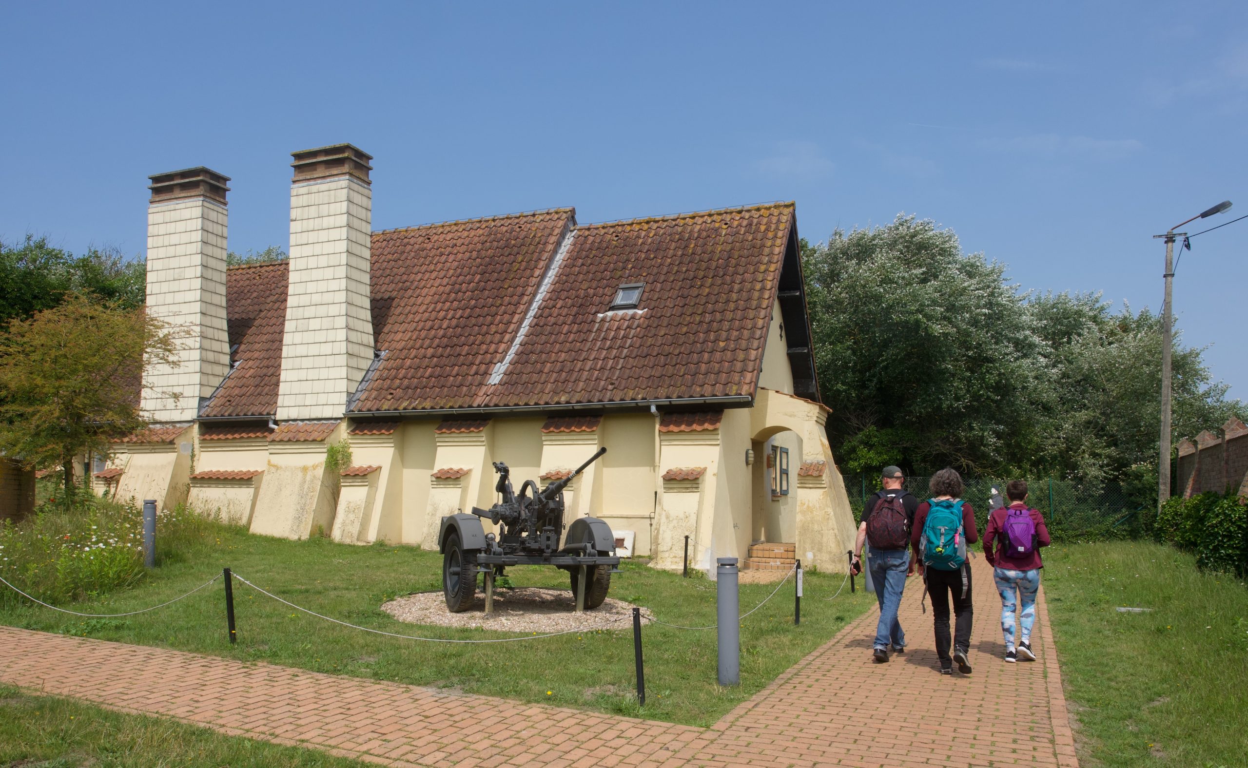
We spent a long time walking around the path the outdoor museum audioguide led us on, both aboveground and through tunnels, into various bunkers, shelters, trenches, tunnels, and air defense gun sites. We saw replicas of quarters, munitions and food storage buildings, observation bunkers, and the field hospital, all just a few hundred feet from the beach, and the entire time were mostly thinking about how stupid war is and how easy it seems for humans to start war over and over again. In between, we saw lot of greenery in the sunshine and the occasional bird we didn’t know, and that was a relief. But we did learn a lot about the otherwise invisible history of violence along this coastline, and were even able to track on a series of precise aerial surveillance photos what Blankenberge, where we are staying, looked like in August 1944.

We did not leave the site until after 4:30, and Judith drove us home. We found a slightly closer parking spot and walked home along the beach (which made me very happy), and after a brief bathroom break at the hotel, Mark and I set out to find some dinner. We eventually settled on a beautiful (if pricey) glass box right off the beach on the promenade where they served curry and pasta bolognese (unlikely combination, I know), and lured Judith and Michael, who initially thought they didn’t need more food, into joining us. We sat having a lovely meal while looking out at the ocean, all had a single scoop of ice cream on the way home, and wrapped up the long day LONG before the sun is scheduled to go down after 10 pm. We just cannot keep up with these long near-midsummer days!