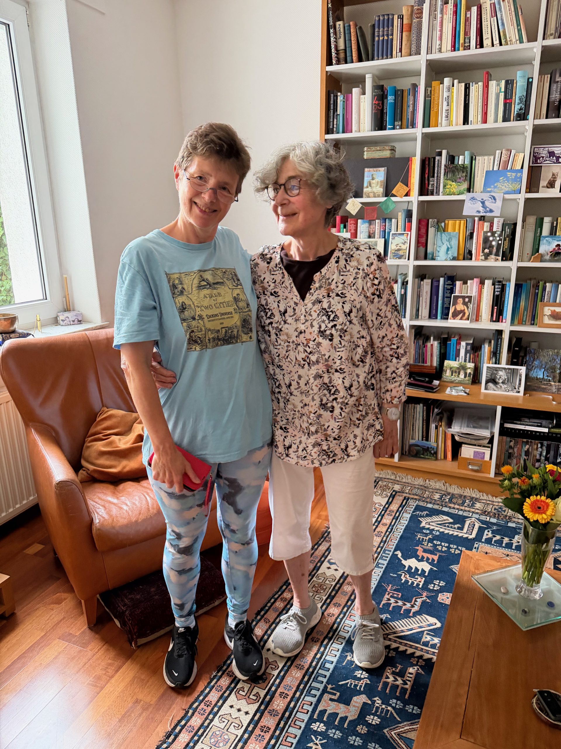
Another day of packing (minimal re-packing, actually, since we did most of it last night) and leave-taking–this morning after breakfast with Imke, we set out for Amsterdam. We will miss her! It was so nice to spend our very last day in Germany with her, and we are already looking forward to next year!
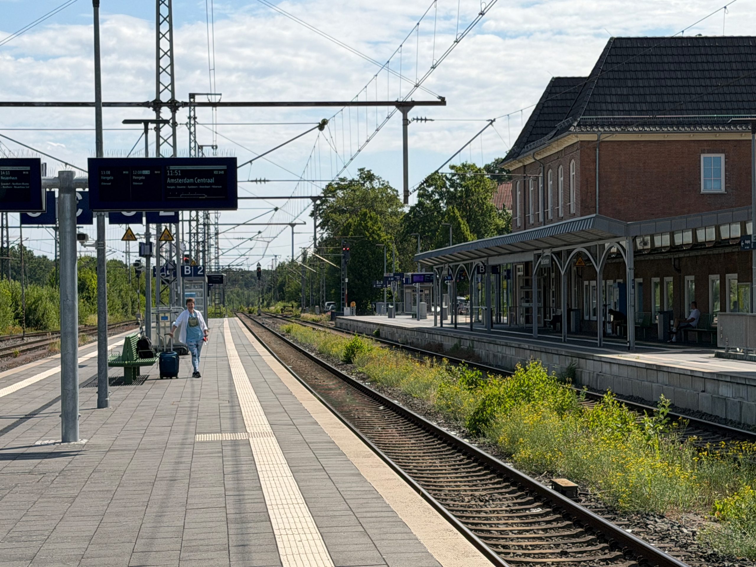
We took the bus to the train station pretty early (in order to avoid Imke getting nervous about missed connections), so we had time for a cup of my beloved Milchkaffee (café au lait, so not a latte–made with coffee, not espresso and packing less of a punch) at the train station café. Then we took our last regional train on our Deutschland Ticket to Bad Bentheim, a small resort town close to the Dutch border, which was more deserted than any train station we’ve been to this trip, and then took the faster ICE train to Amsterdam. (We could have caught that same ICE train in Osnabrück, but I saved us $20 by maxing out the regional train right up to the Dutch border. As its name suggests, the Deutschland Ticket won’t work outside of Germany.) The trip went smoothly, and we celebrated having our very last homemade train lunch (rolls with ham and cheese that I fixed for us this morning).
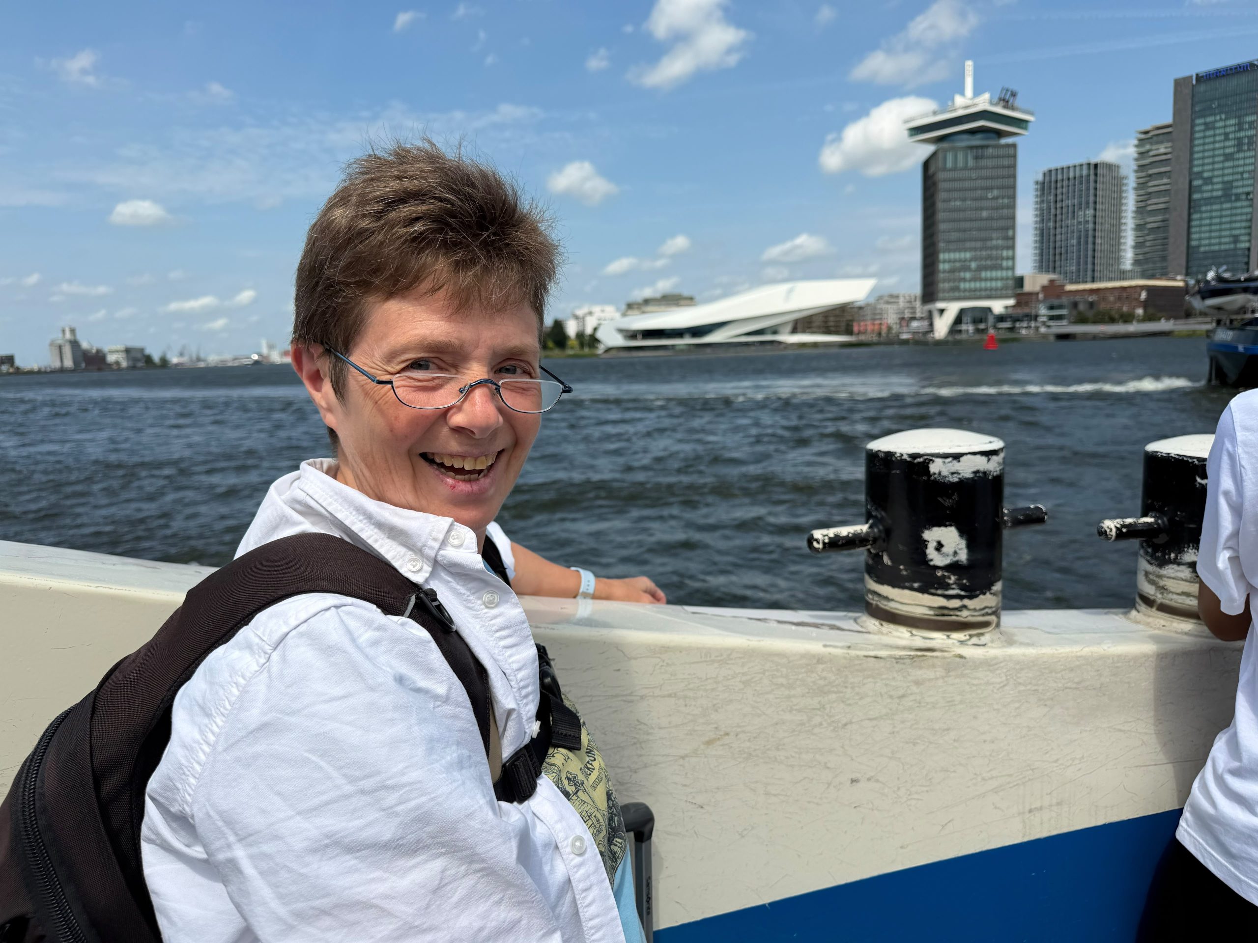
Once we arrived at the Amsterdam main station, we made our way across the harbor / the Ij on the free ferries that cross every 3 minutes or so, to get to our hotel, or rather, hostel, although with individual room options. It is very barebones, but we have a bathroom with a shower (so better than the Box Hotel!) and we did not have to rent towels or lockers like folks who stay in the hostel portion of the place. I was very excited when I found it; I picked it for the price (Amsterdam being generally very expensive, it was a good deal for under $150 after city taxes) and the secretly central location. For anyone who knows that the ferries run for free all day, it would be clear that this is very close to the city center (and basically right next to the famous film museum, the Eye), even though it doesn’t look like it on a map because there’s a big body of water separating it from the train station.
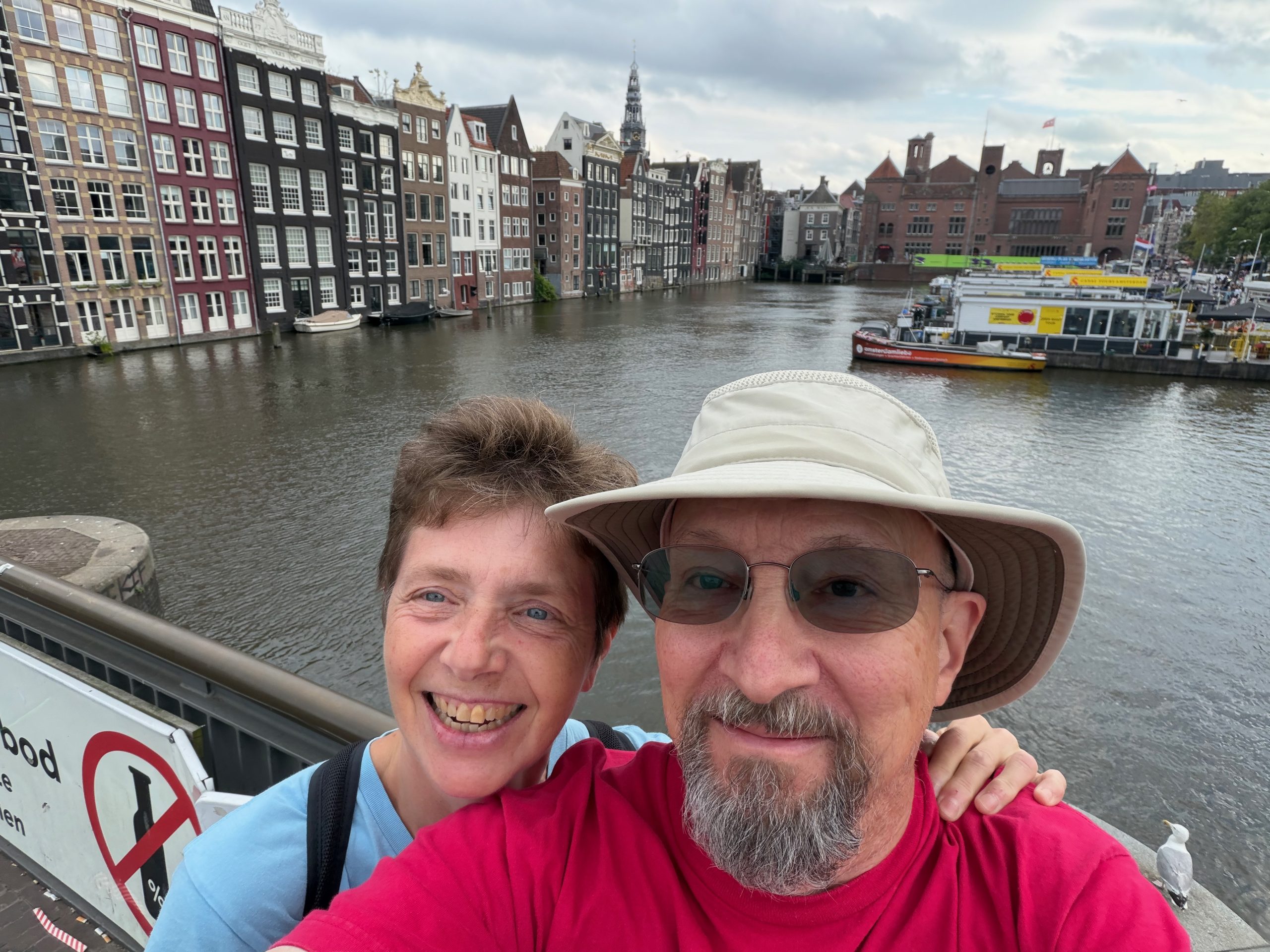
After we were able to check in at 3 pm, we wandered through the familiar canal streets of Amsterdam, and managed to wander by several of the hotels where we’ve stayed in the past, which was fun. We saw a few spots where construction had marred the view on past trips, including the huge and now fully accessible plaza in front of the train station, and otherwise just enjoyed criss-crossing the bridges across various canals and watching the tourists from all over the worlds doing the same. We had hand-pulled Chinese noodles for dinner, and mediocre ice cream (we are spoiled) for dessert. We walked until about 8 o’clock (apart from an occasional cool blast of wind, the weather was gorgeous), then sat in the big (and somewhat noisy) hostel lobby for a bit, and went to bed early to be ready for our journey’s last leg tomorrow.