Memorial Day–but if it hadn’t been for a stream of reminders from Facebook, we would have never noticed! The places we went today did not really show any signs of there being a holiday–there were not many reminders beyond the flags that one would expect at national monuments and parks, nor was there a whole lot of traffic. Our day had three parts:
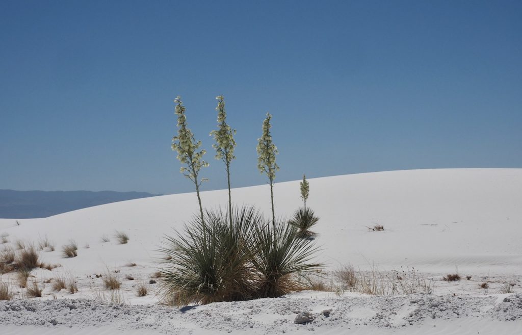
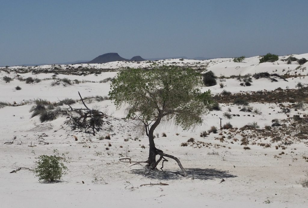
First, early in the morning, we drove to White Sands National Monument, which is about 45 minutes from our digs, through the Organ Mountains and into the Tularosa Basin. The White Sands area is famous for two things, but we did not get a glimpse of one of them: First, it has notorious missile testing sites–and sometimes the National Park portion closes because of current missile testing. Of course, these are no longer atomic bombs, but in the 50s, they were tested here at the Trinity site (Mark: “Shoot, I didn’t bring my Geiger counter”). Second, it is a spectacular and unusual hiking area, because these dunes, which otherwise do look like very fine sand dunes, with lots of drifts and sparse vegetation, are really and truly blindingly white. The dust blowing across the blue sky is also white (instead of the yellowish tint we have seen in the air a lot because of wildfires and little dust devils everywhere). The White Sands are a gigantic gypsum deposit–the world’s largest, and big enough to be visible from space. The geology is fascinating, and the dunes, both with and without vegetation in the snowy white, are gorgeous. We got to the site at about 8 am, and really had a wonderful time there. We took an abbreviated version of a 5-mile hike (which would have taken 3 hours, because going up a sand dune is serious work); our shortcut (from one visible trail marker to another, so not risky) cut it down to under 3 miles and only two hours. It was still early and not hot (upper 70s, lower 80s) and there was a bit of a breeze, so the sand was still cool, and some of it has recrystallized just a little bit, part of it feels like walking on drywall (which is made of gypsum, normally) rather than on sand. But some of the dunes were soft enough going down that we sank in to our calves and then left basically no trace as we went downhill along with the fine, glittery sand. A lot of people bring their kids and circular sleds, because it is really even better than sledding on snow–certainly in terms of temperatures!
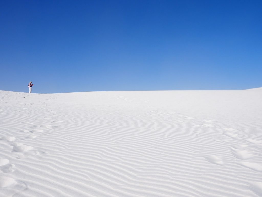
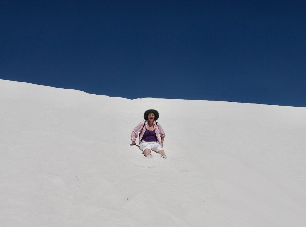
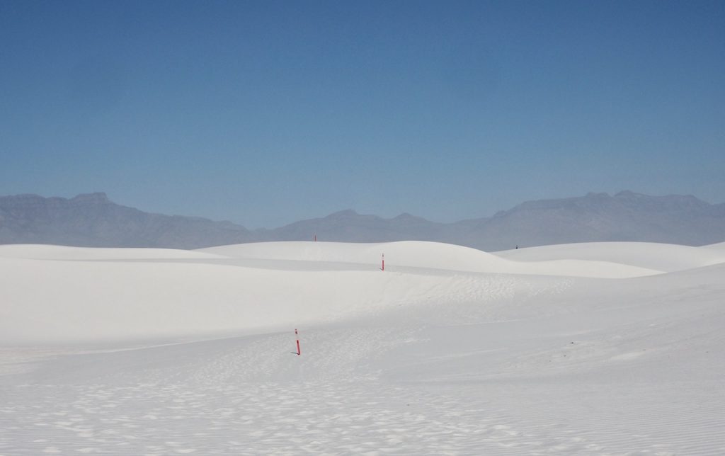
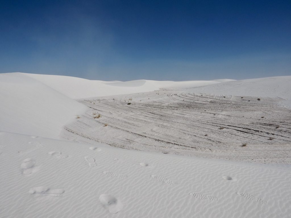
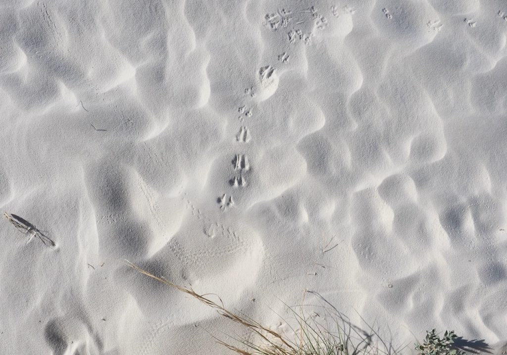
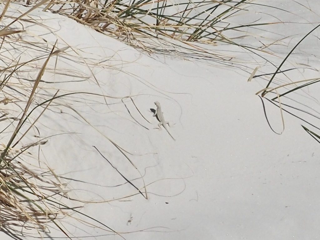
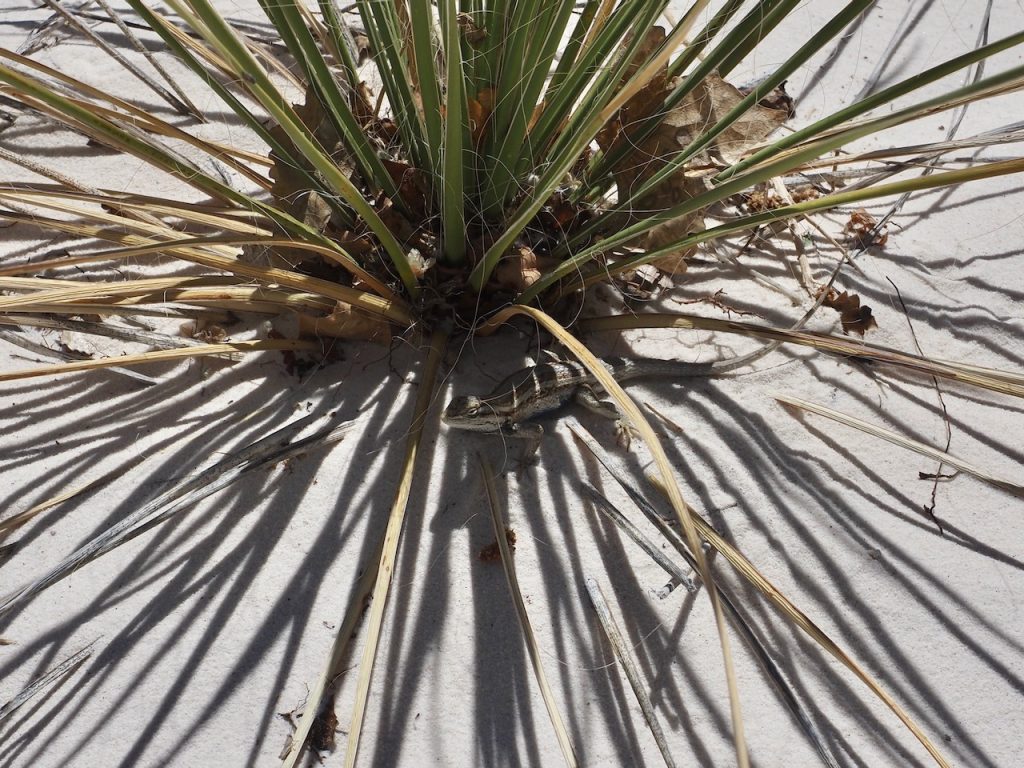
For this hike, we were smarter–we took a ton of water and also a couple of granola bars, and there were bandaids in the car, too. Walking sticks would not have done anything. We also walked two leisurely smaller trails, one on sand and one on a boardwalk (less than .5 miles in and out), with some interesting information about the dunes and the plants and animals that live in this arid environment. The gypsum actually preserves moistures just a few inches below the surface, so plants with elaborate root systems, including some cottonwood trees, but mostly smaller bushes and yucca plants (in full bloom here as well, but also already visible as empty seed pods), and there is a kind of mouse here, the Apache Pocket mouse, that actually doesn’t drink, but takes seeds in its cheek pouches to little damp storage spaces, where they soak up the moisture, and that’s how the mouse gets its liquid. We did see some of the mouse tracks, and we also spotted a couple of lizards. There is nothing quite as adorable as seeing a white lizard that’s no longer than 3 inches/6 cm with the tail included (the Bleached Earless Lizard, which apparently is neither bleached nor earless, but sure looks like it) “threaten” us by pumping up and down on its little legs. But it is hard to photograph. Mark was luckier with a bigger lizard later on.
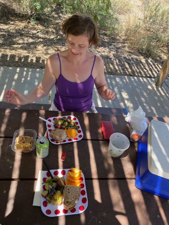
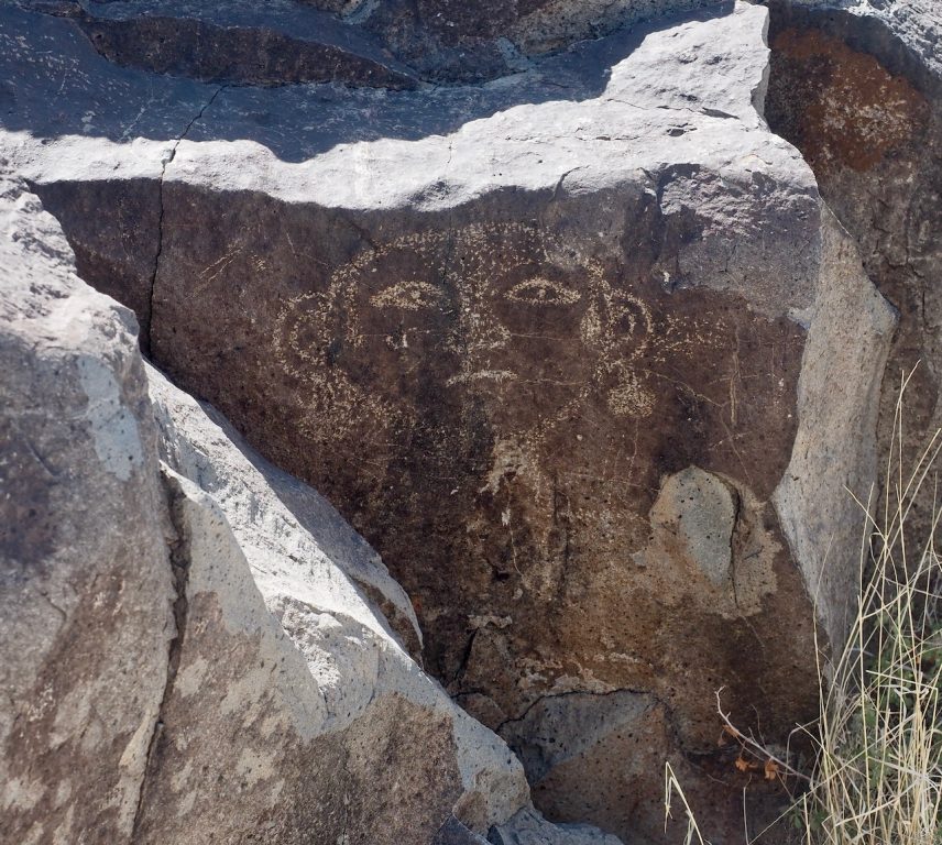
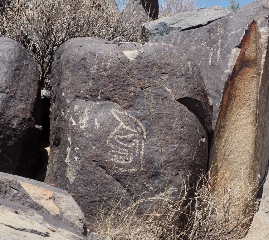
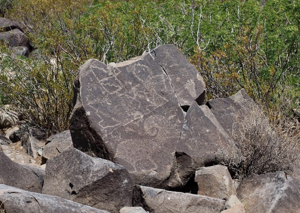
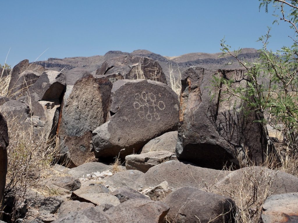
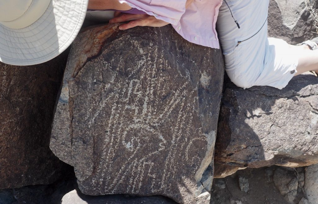
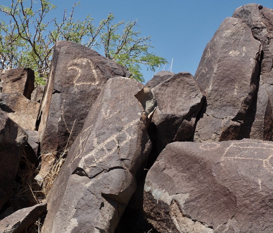
Part Two of the day came after a picnic at the White Sands visitor center on the way out–sandwiches with ham and cheese and the potato/green bean/asparagus salad from last night that Randy and Laurie had sent with us–delicious! It involved another 45-minute drive and a much shorter hike with amazing art we did not expect to be so plentiful: We went to the Three Rivers Petroglyph site, run by the Bureau of Land Management and almost completely deserted. It features a 1-mile walk up some rocky terrain–but in that terrain, there are over 21,000 petroglyphs carved into dark volcanic rock! From the winding paths, you can see dozens and dozens of them, and Mark got some amazing photos of some of the most interesting shapes–animals, faces, dotted circles, bird tracks. Amazing once we figured out what to look for–and our walk was not even that hot, since we had a cooling breeze and it was “only” 86 rather than in the 90s yesterday. Very little is known about the meaning of these, or the particular group of people who lived here, the Jornada Mogollon, sometime between 200 AD and 1450 AD (there is a nearby village that has been partly excavated, but we had no energy left to explore it).
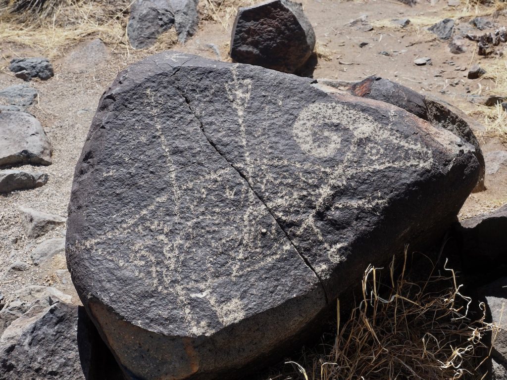
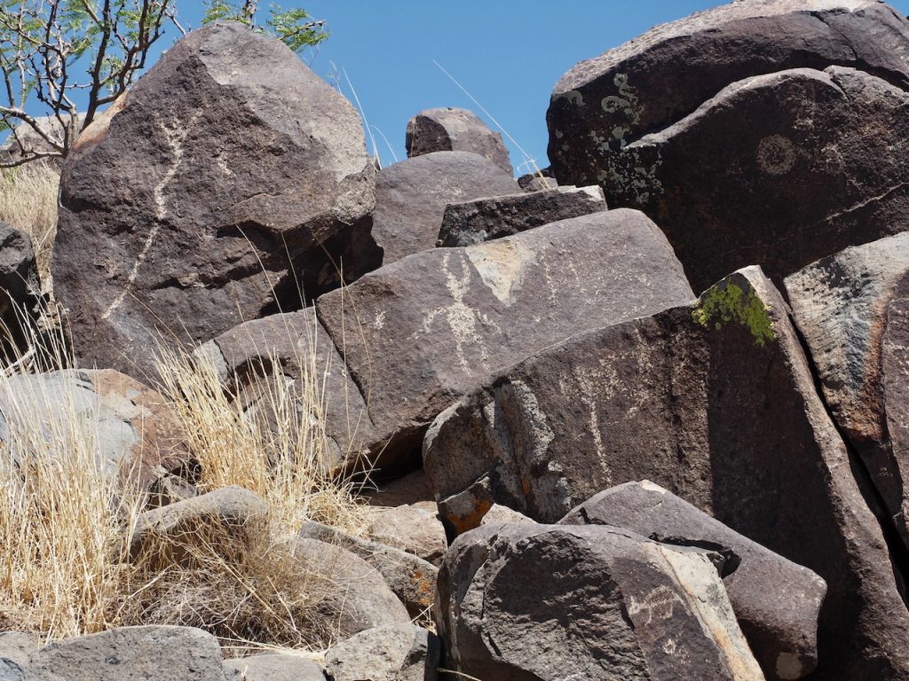
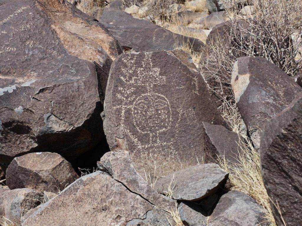
We were so glad we went–even though I fell on my butt when I stepped back and ended up on a wobbly rock, so that my tailbone is a bit sore and I had to sit on an ice pack during dinner at Laurie and Randy’s. That was the third and last part of the day was to drive the 1.5 hours back to Las Cruces (again, very little traffic), stop for some groceries at a local Albertsons, and have dinner with Randy and Laurie again. I made a salad, and Randy made a pizza with delicious toppings and lots of mozzarella and asiago, and we talked about food memories and interesting people and places, and had a wonderful time. We brought a little tiny cheesecake, just enough for the four of us, so there was even dessert. But we left about 8 pm, just after the sun set, and went back to the Calle del Arroyo to do some basic packing and take showers, so that we can get a quick start tomorrow. I was very tired by the end of the day, even more so than Mark, I think!