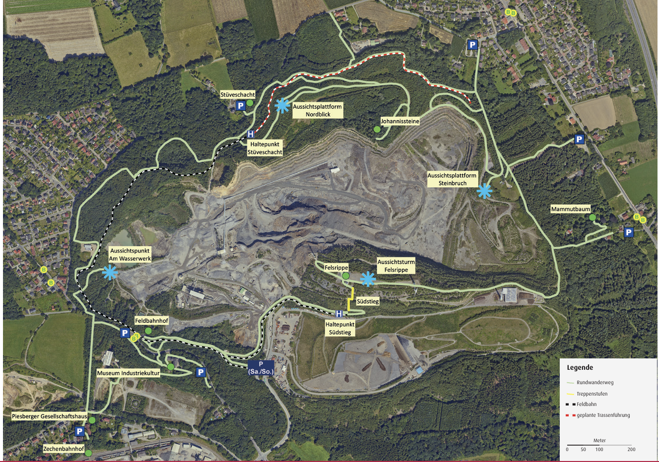
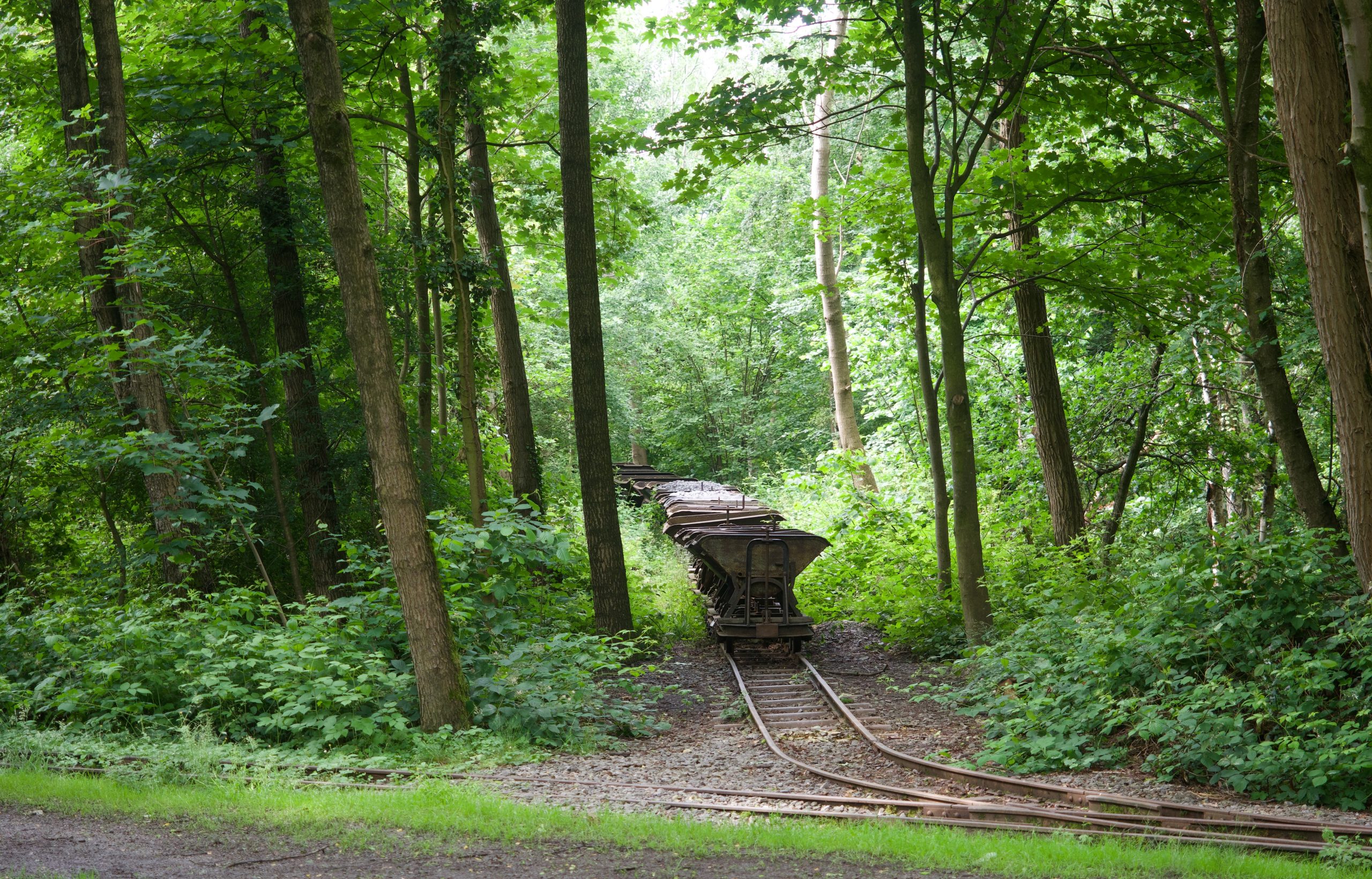
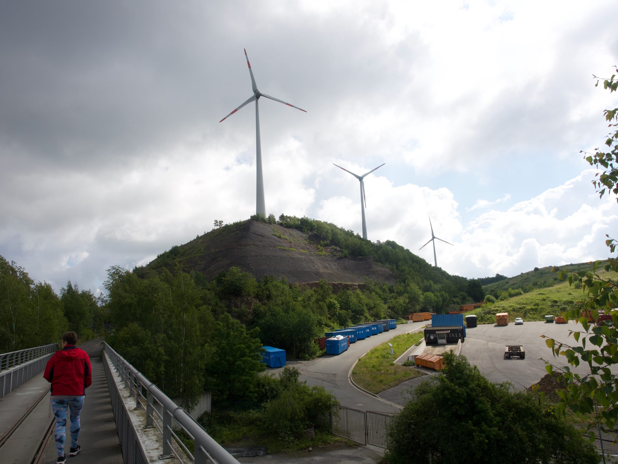
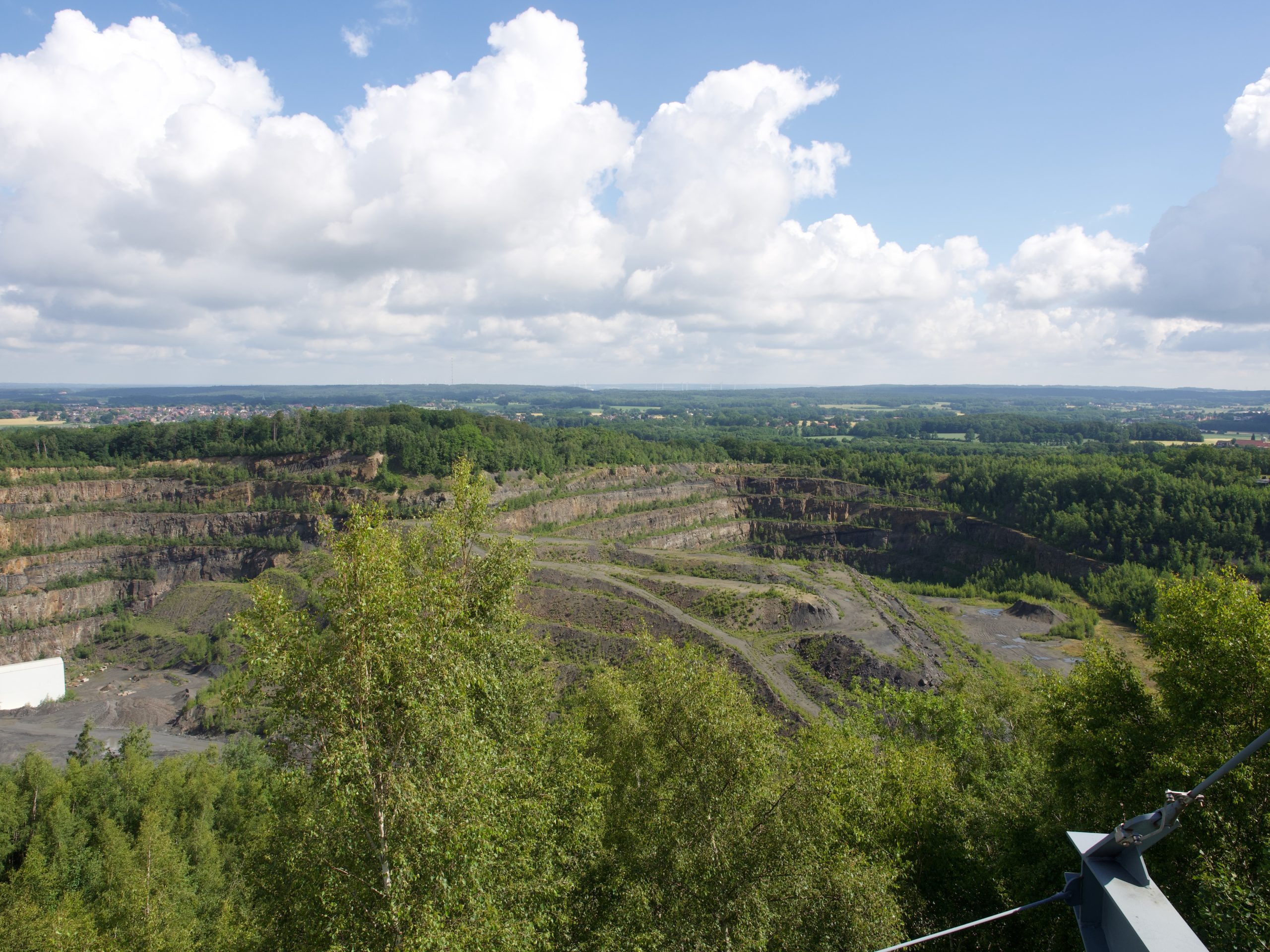
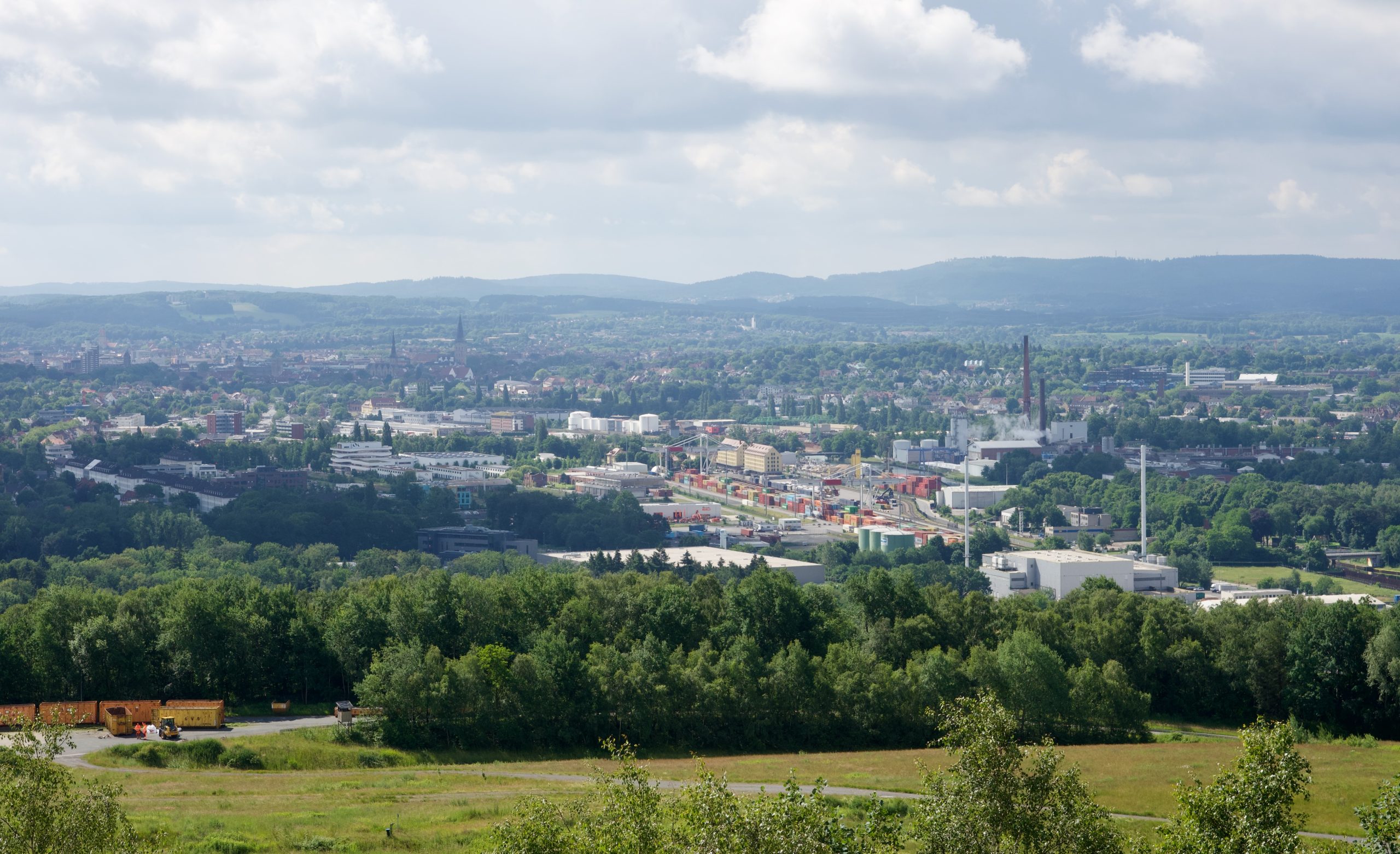
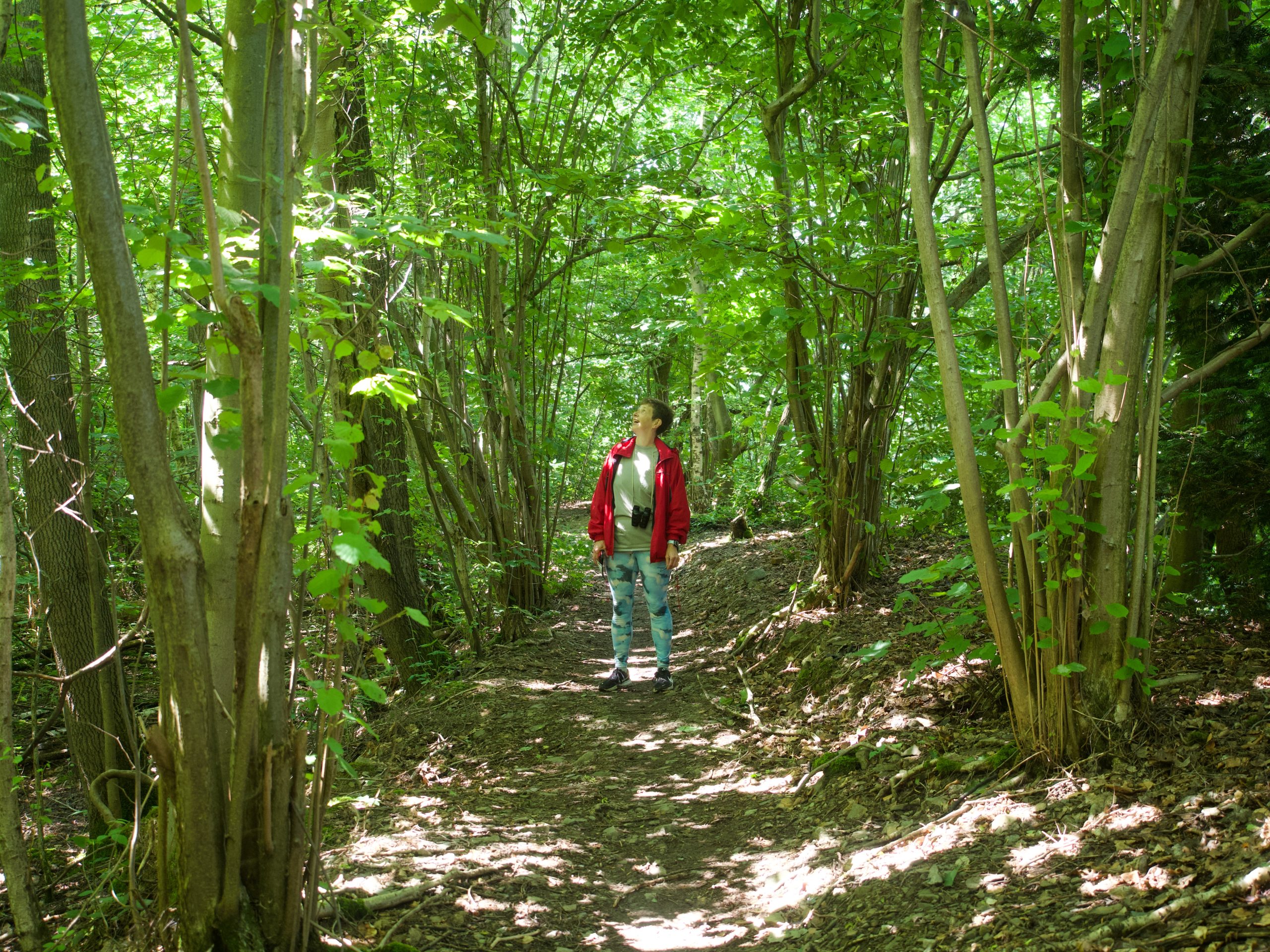
It was again coolish today (we have been getting just above 60 for a high for the past week or so) but without much rain in the forecast, so we decided to take the bus to the Piesberg hiking loop in the north of town. It is a simple 8 km (5 miles and change) loop around a huge stone quarry that used to be a flat top mountain and is now more of a crater. The narrow-gauge track that used to serve for transportation is now a mini train tourist attraction, but today was a very quiet day. We saw a couple of hikers, one school class with their teacher, and the little train was not running. But we just came for the hike and some spectacular views of Osnabrück from the highest elevation in the region (a sensational 188 m or about 550 feet above sea level at its highest point). It was a lovely time, and apart from a two-minute sprinkle, we remained dry in partly cloudy, partly sunny weather. It was also really clear, and we could see all the way to Lingen, 50 km (30 miles) from Osnabrück, where we could spot a distinctive landmark (a three-tower power plant, very romantic).
The hike took us about 2 hours, with a couple of detours, and after the 20-minute bus ride home (plus another 10 minutes of walking to Imke’s house) we were starving! I enriched our pasta from the other day with some sauteed veggies and we had a lovely lunch–light enough to leave room for coffee and cake at 3:30, when family friends Maya and Wolfgang stopped by. We’ve known them ever since we moved to Fürstenau in 1971, and they became some of my parents’ best friends. (My mom has been meeting with them regularly again ever since they moved to Osnabrück a few years after she did.) Lots of catching up for an hour or so over cheese cake and crumb cake from the nearby bakery.
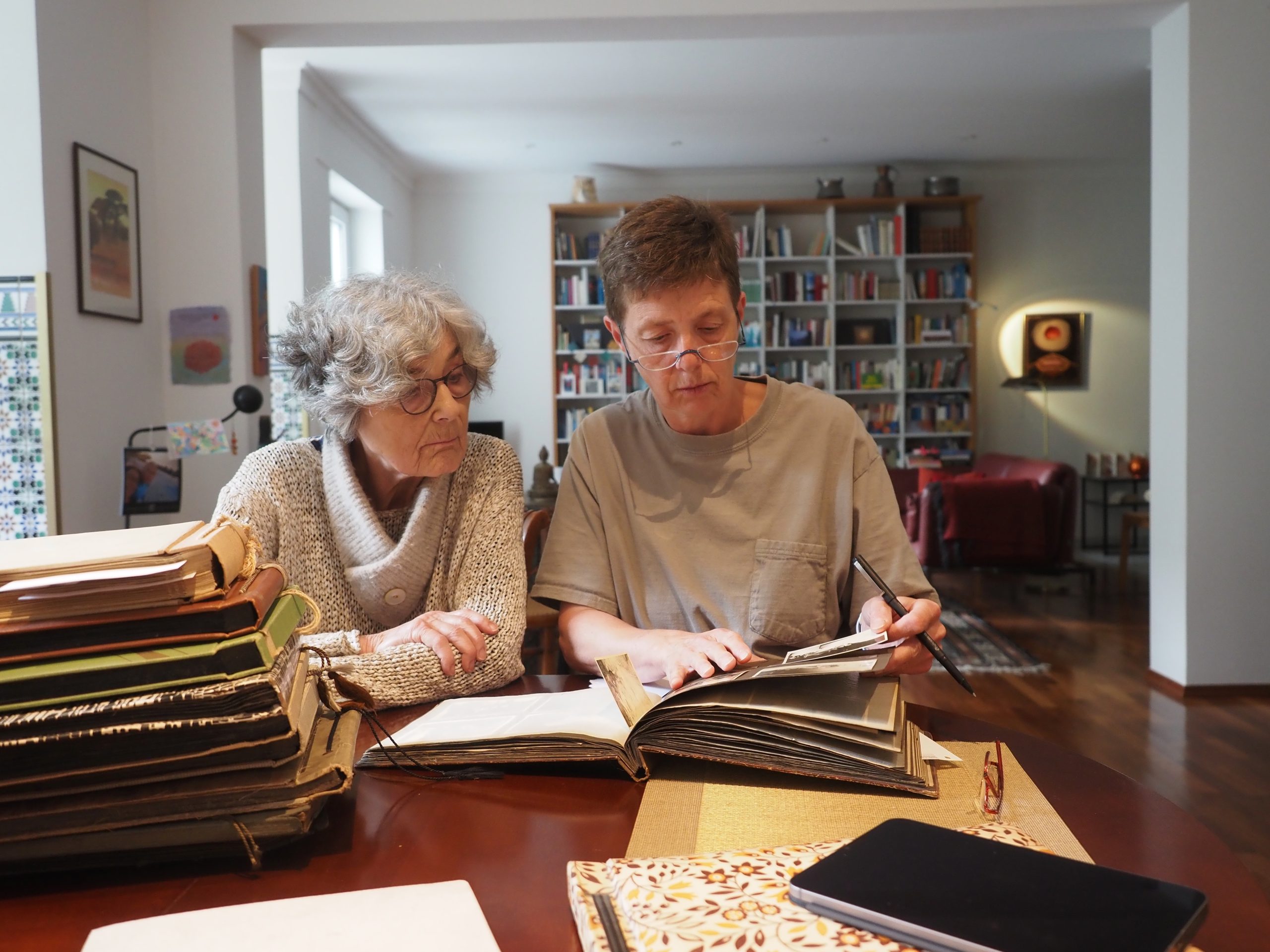
Then Imke and I spent the evening leafing through old family photo albums (from the late 19th century to about 1966), and Mark, with the patience of at least a half dozen angels, took pictures of every photograph I singled out (with a little note to identify it). It was an intense and interesting couple of hours, but we had had this projects on our minds for a few days, and this was our chance!